Welcome the new Infrakit version 3.8.0, where construction collaboration has been taken into a whole new level!
Welcome the Infrakit version 3.8.0, where your construction collaboration is brought to a whole new level!

We are delighted to release the Infrakit version 3.8.0 to general availability! This version brings many long-awaited features, such as turbo-charged 3D visualization, mobile access to saved views, and wider support for Kilometer posts of Railway stationing. And these are only to name a few of the absolute highlights of the release. 

Fast loading and rendering of 3D visuals 

Infrakit has now an intelligent way of optimizing the visualization of 3D models. Firstly, the time for model files to open is now drastically quicker. Secondly, all content opened renders about 10x faster! This improves your experience of 3D visualization on large job sites. 

Please note the new Shade button that highlights the edges of the structures also when they are under other models.  

Psst… look at those even more awesome point clouds! 

Mobile Saved Views 

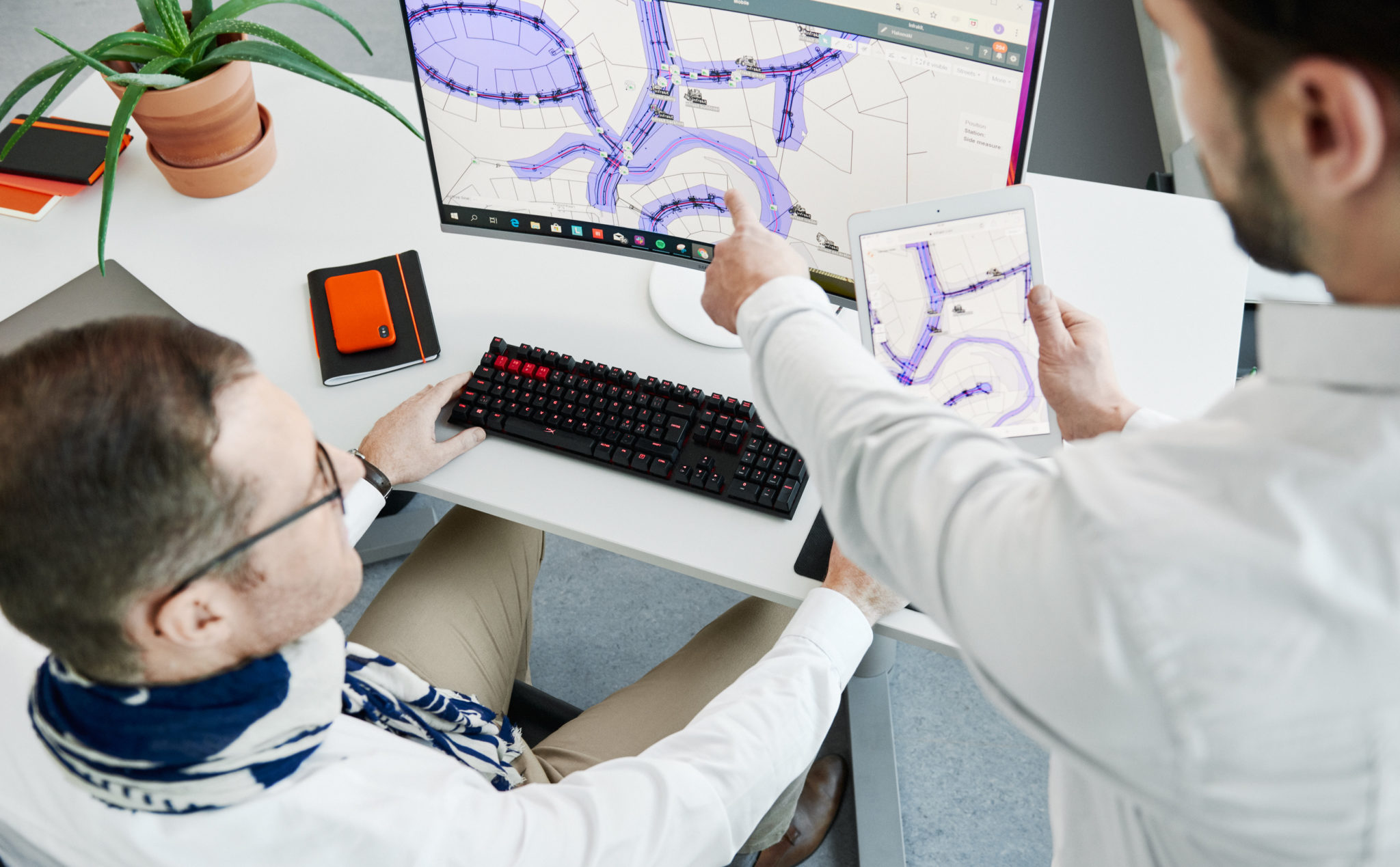
Collaboration from the field can now be done at a whole new level. With mobile access to saved views, you will be able to select a subset view of the site and share it with all the users you want to collaborate with on the field. Were you either inside your office or on the field with only a mobile phone in your pocket, saved views will save a ton of time and effort from you by showing only the necessary information that another user wanted to share with you.  

Railway kilometer posts 

If you are using Infrakit in a railroad construction project, this is an absolute must-have for you guys, and we are happy to have it ready for you. Now that all the kilometer posts, hence, stations are displayed in Infrakit, locating documents and all the other information is a peace-of-cake. Further improvements to this feature are upcoming in later releases! 

Check the more in-depth list of new features and improvements of this version from:  https://support.infrakit.com/help/infrakit-office-version-3-8-0 

Jere Syrjälä
November 18, 2022

Book a Demo

Discover how Infrakit connects your entire infra project operations and drives value to every part of your business.

Infrakit helps infrastructure owners review and approve quality easily through visual documentation to ensure project success

Infrakit helps infrastructure owners review and approve quality easily through visual documentation to ensure project success

With Infrakit construction’s overall quality is improved by real-time monitoring. Real-time view of the project enables you to fix errors and make quick changes, when necessary. This saves time and helps you stay within the schedule.

Our single system architecture saves you both cost and effort while ensuring efficient asset maintenance and real-time data for everyday work from project leader to builder.

Overall quality is improved with real-time monitoring

With Infrakit’s cloud platform construction’s overall quality is improved by real-time monitoring of quality and progress. This enables you to fix errors and make quick changes, when necessary. Real-time view of the project saves time and helps you stay within the schedule.

“From my point of view as the Quality Manager, Infrakit makes monitoring the project in the field so much easier. There is no need to travel 35 kilometres for every little thing when I can just check it from my PC screen at the office. I am not tied to a time or place. It has been a big relief — I can see in real-time how the project is progressing”.

Jussi Laamanen, Quality Manager YIT on case E18 Hamina – Vaalimaa

Efficient asset maintenance brought by centralized data management

On case E16 Eggemoen – Olum BIM coordinator Mohammed Ziani says they have four workspaces consisting of two main projects, a side road and an action road. He states that Infrakit has made the interaction between these spaces easier.

“Infrakit makes that connection easier. There are some basic data that belong together in all the workspaces, so I get a simple overview of them. If there is information that must be sent to the intervention road, then it is practical to retrieve files and transfer them to the space that we share with the contractor. “

Read more about this here »

Real-time data for everyone involved regardless of location

Infrakit collects real-time data from the worksite to provide all parties with up-to-date information on how the site is progressing. This information is available on different devices from computers to smartphones.

”While planning the pilot project, we wanted to take advantage of Finnish experiences and know-how – that’s why we chose Infrakit platform. The biggest advantage of Infrakit evolves in construction process, where you can take the whole project documentation everywhere with smartphone or tablet. It is also possible to get access in every PC without owning any specific CAD or design software. And finally, we have an option to check the design solution in 3D.”

Anti Palmi, Manager of Road Construction and Maintenance Division in Estonian Road Administration, explains in pilot project T22 Torma-Levala overlay 

Anssi Johansson
November 13, 2022


Book a Demo

Discover how Infrakit connects your entire infra project operations and drives value to every part of your business.