We are excited to share an exciting interview with Trond Ivar Nordal, an experienced surveying manager from NCC who has been using Infrakit since 2019.
Go back
Improved project efficiency through real-time data sharing and collaboration
Dec 30, 2024 3 min read

The Discovery of Infrakit: A Colleague’s Golden Tip
Interviewer: Trond Ivar, can you tell us about your first encounter with Infrakit?
Trond Ivar: It was like finding gold in a digital mine! In the fall of 2019, during the Bybanen expansion at Mindemyren in Bergen, a colleague tipped me off about Infrakit for organizing machine control data.
Little did I know then that it would revolutionise the way we work!
Since then, Trond Ivar and NCC have used Infrakit on many projects.
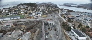
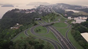
As of Fall 2024, Trond Ivar is the Surveying Manager for the Ålesund project, valued at 1.48 MNOK.
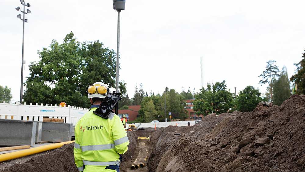
From Paper Sketches to Digital Magic
Interviewer: How has Infrakit changed your workday?
Trond Ivar: You should have seen us before! We ran around with sketches and maps like we were on a treasure hunt. Now? We have the entire project in our pocket. It’s like having a magical map from Harry Potter—except ours shows where the water chamber and fiber cable should be placed!
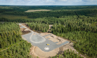
Drones and 360° Images: A Bird’s-Eye View of the Future
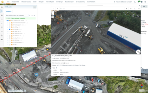
Interviewer: We hear you’re especially excited about the drone functionality?
Trond Ivar: Absolutely! With 360° images from drones, it’s like we’ve gained superpowers. We no longer have to guess what to capture—we get everything in one shot!
Interviewer: Any hidden expert tricks you’d like to share?
Trond Ivar: One lesser-known trick is for .xml files. Add the attribute “Color” with values from 0 to 255 according to the AutoCAD color index—and you can set colors for lines.
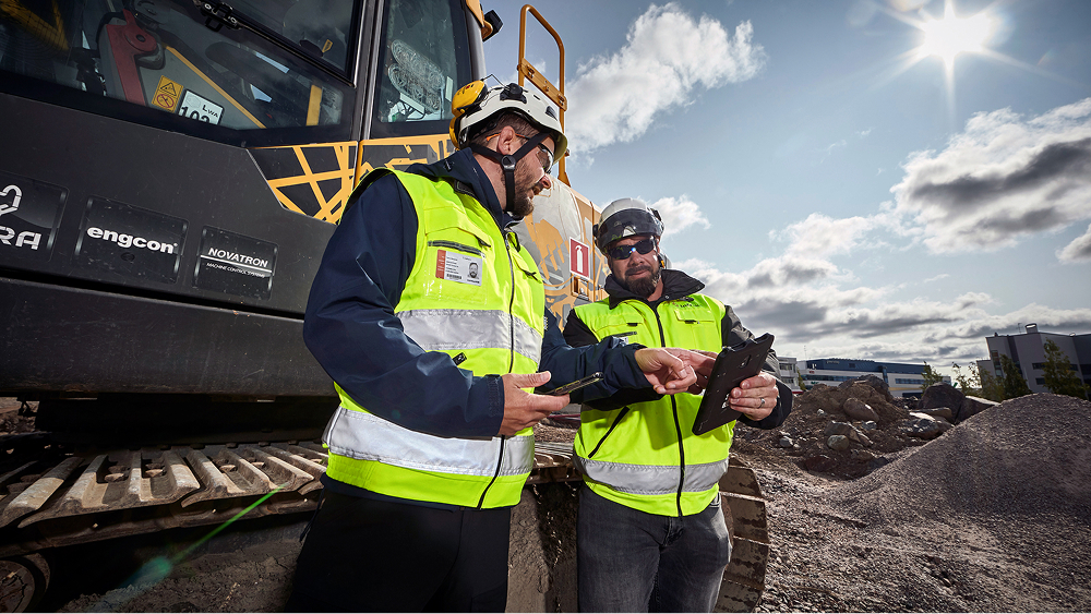
NCC Uses Infrakit to Make Workflows and Documentation Easily Accessible
This enables them to make the right decisions every day—easily! And it’s both profitable and sustainable!
Infrakit: Why Do You Like It?
Interviewer: Why do you like Infrakit?
Trond Ivar: It’s web-based, so there’s no need to install software. It’s stable, fast, and supports 2D. Many are focused on 3D and VDC, but viewing data in simplified layers from above provides a perspective you just can’t get in 3D.
Future Wishlist: View-Saving and a Personal Touch
Interviewer: Do you have any wishes for future Infrakit features?
Trond Ivar: I dream of a “View” function to save specific map views. I’d also like better control over drawing rules for points and lines, including the ability to adjust thickness and size individually for each user.
Infrakit releases new features every month, all developed 100% exclusively for construction contractors. So, what we build for one contractor will likely be useful for you (if you’re a contractor, that is 😉).
Final Thoughts: 2D or Not 2D?
Interviewer: Many people talk about 3D and VDC. What are your thoughts?
Trond Ivar: Well, let me put it this way: Sometimes, a good old-fashioned bird’s-eye view in 2D provides more insight than the most advanced 3D model. It’s all about seeing the big picture—literally!
Interviewer: Thank you for a fantastic and insightful interview, Trond Ivar!
Trond Ivar: (winks) My pleasure! And remember, in our industry, it’s not just about digging trenches—it’s also about building digital bridges to the future!
Trond Ivar also shares this gem from the Bestland—oops… Westland:
PS: Parts of this interview were written by AI, based on an interview with Trond Ivar.


Let’s see how we can help you
Thank you for you application! We will get back to you shortly.