Marja-Terttu Sikiö von Destia: Umweltfragen und Nachhaltigkeit sind zunehmend wichtige Themen bei der Planung von Infrastrukturprojekten
Marja-Terttu Sikiö von Destia: Umweltfragen und Nachhaltigkeit sind zunehmend wichtige Themen bei der Planung von Infrastrukturprojekten

Der Infrastruktursektor ist eine der umweltschädlichsten Branchen weltweit. Der Großteil der Emissionen entsteht nach der Inbetriebnahme, aber der Bau selbst hat auch Auswirkungen auf die Umwelt.

Unabhängig von der Branche werden Umweltfragen und Nachhaltigkeitsziele zu immer wichtigeren Gesprächsthemen, und die Messlatte liegt hier hoch. Beim Bau von Infrastruktur müssen, um diese Ziele zu erreichen und die Emissionen zu reduzieren, neue technologische und materielle Möglichkeiten erforscht und die Verfahren in gewissem Maße geändert werden. Man geht auch davon aus, dass die Digitalisierung helfen wird, die Umweltauswirkungen von Bauprojekten abzumildern. Finnland hat dafür eine gute Ausgangslage, da die Digitalisierung der Infrastruktur in den vergangenen 10 Jahren mit großem Aufwand vorangetrieben wurde.

Um Nachhaltigkeit im Bau von Infrastruktur zu erreichen, müssen wir im großen Ganzen denken. Destia hat beispielsweise eine lange Tradition, sich für soziale Nachhaltigkeit einzusetzen, etwa für Arbeitssicherheit und das Wohlbefinden der Angestellten. Allerdings ist Nachhaltigkeit in der Branche zu einem häufigeren Thema geworden und es wird immer mehr über Emissionen und die gesamten Auswirkungen auf die Umwelt gesprochen.

Wir haben mit Marja-Terttu Sikiö von Destia gesprochen, um herauszufinden, was sie von dem Thema hält und wie eine Veränderung erreicht werden kann.

Wie sehen Sie die aktuelle Situation in der Baubranche?

Ich sehe es als sehr positiv an, dass Umweltfragen und Nachhaltigkeit, wie z.B. die Klimaarbeit, zunehmend in Projekten berücksichtigt werden, auch bei kommunalen Entwicklungsprojekten. Für Destia sind Themen der sozialen Nachhaltigkeit, wie etwa Arbeitssicherheit und das Wohlbefinden der Angestellten, seit Langem wichtig.

Sehen Sie in der jetzigen Situation etwas, das Fortschritt verhindern oder verlangsamen würde?

Ich glaube, dass die größten Hindernisse fehlendes Wissen und das Fehlen von mutigen Experimenten in der Praxis sind. Natürlich sind wir vorsichtig, wenn es um große Projekte und lange bestehende Strukturen geht. Um Fortschritte in der Branche zu erreichen, sind mehr Beispiele für erfolgreiche Projekte, aber auch für Herausforderungen und verbesserungswürdige Bereiche erforderlich. Wir brauchen außerdem mehr Unternehmen, Kommunen und Menschen, die bereit sind, diese Veränderungen zu verinnerlichen und Pionierarbeit zu leisten.

Wie wird sich die Situation Ihrer Meinung nach in Zukunft entwickeln?

Ich glaube, es wird eine noch größere Reihe an Anforderungen und Perspektiven der Nachhaltigkeit geben, die bei neuen Projekten berücksichtigt werden müssen. Neue Praktiken werden zuerst in großen Pionierprojekten, wie etwa in Allianzprojekten, eingeführt werden. Sie bieten eine gute Möglichkeit Dinge auf eine neue Art und Weise zu erledigen, in enger Zusammenarbeit mit den verschiedenen Akteuren. Best Practices werden dann, wegen des Erfolgs der Pioniere, auf andere Projekte angewandt.

Was sind Ihrer Meinung nach die wichtigsten Faktoren, um einen Wandel herbeizuführen und Emissionen zu kontrollieren?

Der Schlüssel ist die Entwicklung und Anwendung von Fähigkeiten, Kompetenzen und neuen Praktiken durch Pilotprojekte. Zudem haben wir mit der Digitalisierung die Möglichkeit, unsere Wissensbasis deutlich zu vergrößern. Was die Transportemissionen angeht, so entstehen die meisten Emissionen bei der Transportinfrastruktur während der Nutzung. Das trifft auch auf Straßenbahnprojekte zu. Diese Emissionen werden durch Fortschritte in der Fahrzeugtechnologie und bei der Stromerzeugung reduziert.

Abgesehen vom Betrieb wird der Großteil der Emissionen durch einige wenige Materialien wie Stahl, Beton und Asphalt verursacht. Diese Emissionen können durch die Verwendung recycelter Rohmaterialien reduziert werden. Auch die Wahl der Bau- und Transportmaschinen spielt eine Rolle. Eine stärkere Integration der Datenerfassung über die gesamte Produktionskette hinweg und die Nutzung dieser Daten für die Planung und Umsetzung von Emissionsminderungen auf den Baustellen ist weiterhin erforderlich.
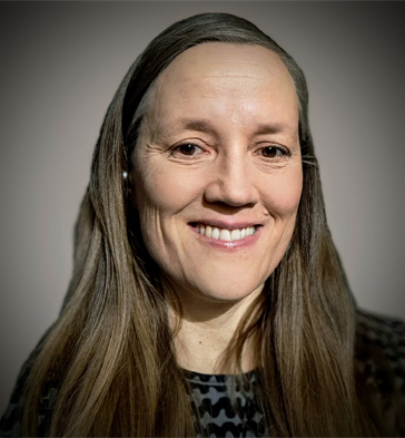
 

Marja-Terttu Sikiö arbeiten seit 14 Jahren im Design- und Expert-Services bei Destia. Aktuell arbeitet sie als Projekt- und Teamleiter im Environmental Assessment Department.

Destia

Destia ist Finnlands größter Akteur im Infrastrukturbereich und Teil der internationalen Colas-Gruppe. Das Unternehmen entwickelt, baut und unterhält Infrastruktur, die für eine gut funktionierende Gesellschaft notwendig ist. Das sind unter anderem Stromnetze, Brücken, Straßen und Schienen. Destia verbessert Städte durch die Entwicklung von Telematik- und Beleuchtungslösungen und durch das Angebot einer Vielzahl von Dienstleistungen für die Verwaltung von Verkehrs- und Infrastrukturanlagen.

Jere Syrjälä
March 21, 2023


Book a Demo

Discover how Infrakit connects your entire infra project operations and drives value to every part of your business.
Master Infrakit OFFICE and Mobile browser version with our comprehensive manual

Master Infrakit OFFICE and Mobile browser version with our comprehensive manual

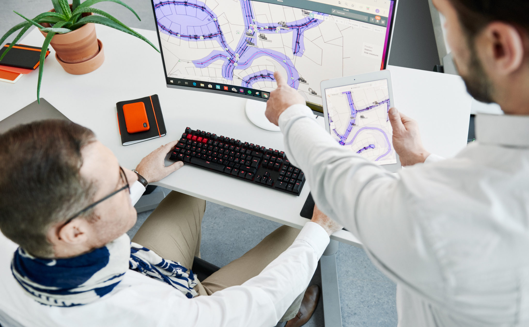
We’re excited to announce that, as requested by our loyal users, we’ve published a comprehensive manual for Infrakit OFFICE and Mobile browser version! These resources have been designed to help you get the most out of your Infrakit experience, whether you’re a beginner or a seasoned user. With this manual, you can learn everything there is to know about our platform, from logging in to utilizing the more advanced features. Let’s dive into what you can expect from the manual.

Getting started: logging in and settings

Infrakit is all about ease of use, and our manual reflects that. The first sections of the manual walks you through the simple process of logging in and adjusting your settings. This ensures that you can start using Infrakit as quickly as possible, tailoring the platform to your specific needs.

Exploring functions and features

The manual is organized by topic, making it easy to find the information you’re looking for. It delves into the functions and features of various pages and tabs within the Infrakit platform, helping you navigate the interface with confidence. You’ll learn how to control models, documents, and photos, as well as how to work with as-builts, equipment, and section views.

Saved views: a powerful tool

One particularly useful feature that the manual covers is the concept of saved views. This powerful tool allows you to store customized views of your project data, enabling you to quickly access the information that’s most relevant to you. The manual provides step-by-step instructions on how to create, manage, and share these saved views, streamlining your workflow and making collaboration a breeze.

Boost your productivity with Infrakit

Infrakit is designed to help you work faster and more productively, no matter your role in the infrastructure construction project. Our platform opens up new avenues for collaboration, ensuring that everyone on your team is on the same page. With our comprehensive manual, you’ll be able to make the most of Infrakit’s features and become a true champion of modern infra construction.

Training opportunities and support

While our manual is a fantastic starting point, we understand that you may still have questions or require additional training. Our team is here to help! For further information and training opportunities, please don’t hesitate to reach out to us.

Conclusion

Infrakit’s new manual for OFFICE and Mobile browser version is designed to help you maximize your use of our platform, whether you’re a new user or an experienced pro. By familiarizing yourself with the features and functions outlined in this guide, you’ll be well on your way to becoming an expert in modern infrastructure construction. So, give yourself that extra boost and get started today!

Please note that this manual is subject to regular updates, as we continuously improve and expand Infrakit’s features. Be sure to keep an eye out for the latest edition to stay up-to-date with all that our platform has to offer.

Manual is available on our Knowledge Base »  

For further information and training opportunities, please contact our support team at support@infrakit.com


Anssi Johansson
March 15, 2023


Book a Demo

Discover how Infrakit connects your entire infra project operations and drives value to every part of your business.

The New Infrakit version brings more CDE features and enhanced 3D experience!

The New Infrakit version brings more CDE features and an enhanced 3D experience! 

Release blog posts may not be the most popular ones we’ve got, but we could argue that they are high value providing hidden gems for those that do open these. Seems that you are one of those pioneers, and forerunners of the industry, so congratulate yourself on being on the tip of the iceberg, by educating yourself to be the ”digitalization champion” who rides the tide!  

For release 3.8.2 of Infrakit OFFICE, we focused on making features that help manage all project documents in Infrakit, not only the ones you would visualize on the map. Together with that, we have enhanced the 3D BIM viewing. In other words, these features enable you to work faster,  collaborate better, and be the star of your project! 


Optimize your data management with new CDE features

It’s no big secret that data management is the key to successful projects. This time we focused to enhance our CDE features by adding you an opportunity to set and manage properties for your files. 

Was it either file categories of Design Disciplines, Model maturities, or phases of the project, property management saves you a ton of time. Add your custom property as a number, text value, or in a list of options. 

Check how to use it from the video below! 


Simplify your mountain of information 

Infraprojects tend to have quite an overwhelming amount of files… Thus, filtering and sorting out the ones you don’t need in the UI brings simplicity.  

To enable this step by step, we developed another CDE feature, which enables you to make any file or folder dispappear from the visualization apps.  As an example, you can use the Infrakit as single source of truth platform for all the project files. Store and manage the revisioning of the native drawings that are not meant for map projection. With this feature those files are not bugging the users of the Map page. 

We also introduced handy left-click menus on web UI, make sure you don’t miss that one! 

The video below once again will show you a quick and easy way of using this feature! 

Become a superior collaborator with enhanced 3D’s and point clouds 


Wouldn’t you want to be the champion, who makes everyone in project-wide collaboration feel happy and safe? Yea, that is precisely why (once again), we used a ton of focus on making Infrakit help you to be the champion. 

Infrakit’s high-power 3D engine can smoothly render your map and 3D data in one view on any modern hardware (yeah, that’s including phones and tablets). The 3D view now also enables you to see the station numbers of alignments, enabling finding the right spot on the project even handier. On top of these, the new version enables you to select multiple point clouds to be visualized at the same time!  

These features not only make the designs and visualizations of the site look good but you as well! 


Check the more in-depth list of new features and improvements of this version from our Knowledge Base

Jere Syrjälä
March 13th, 2023

Book a Demo

Discover how Infrakit connects your entire infra project operations and drives value to every part of your business.