The Integrated Infrastructure Cloud
Unlock your construction site for smart decisions by connecting all your BIM, Surveying and Field data.


OFFICE
Single source of truth Construction CDE ‹
Easy cloud based BIM Viewer (2D & 3D) that works without desktop installations ‹
View Orthophotos, 360’s & Point clouds ‹
Manage Mass hauls ‹
Integrate all machine control systems for data exchange ‹
Real-time as-built data keeping team up-to-date on progress and quality ‹
Keep track of Volumes & Schedule ‹
Involve stakeholders with Saved Views ‹
FIELD
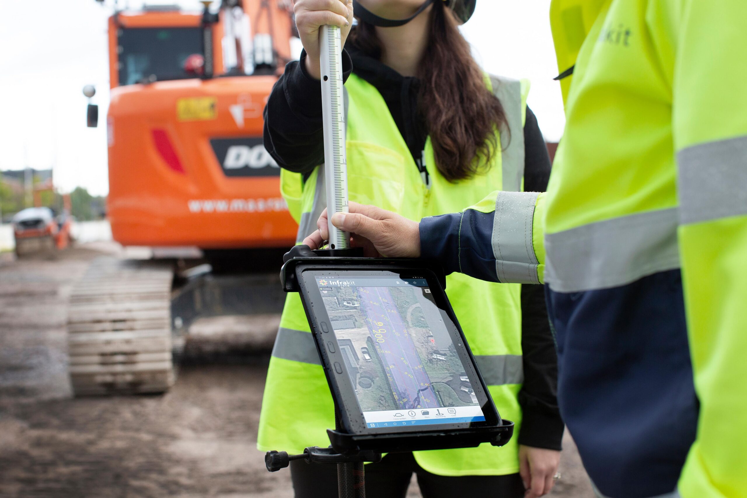
› Your drawings, alignments and 3D models in your pocket
› Online photo-shooting ensures the the whole project team is aware of situation on site


SURVEY
RTK sensor connectivity enables grade checking for anyone ‹
Online as-built surveying makes sure all your data is accessible and secured in cloud in real-time ‹
TRUCK
› Collect digital freight reports
› Control your mass haul operations


Benefits
Over 6000 projects have been carried out by using Infrakit
Projects using Infrakit have achieved 20% higher efficiency on average and 80% of them have finished ahead of shedule
Utilization of Infrakit has been reported to improve safety and decrease disputes between stakeholders
Future-proofed way to evolve your projects
Infrakit breaks down digital silos by integrating real-time construction systems and data, making insights easy to share and apply.
- Make smarter decisions
- Make faster decisions
- Give insights to the people who need them

