Using Drone Data with Planning
Using Drone Data with Planning
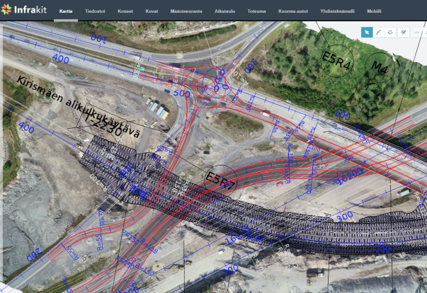
A construction site is efficient only when the data it uses is accurate and up-to-date. Intelligent project information can be shared and received in real-time using Infrakit. Maps are a useful tool to understand the big picture, but most map services have outdated basemaps or satellite imagery and that might confuse more than help the perception. Drones are already a common tool at work sites, but the data is usually hidden from all others than the data specialists. By using ortho images and point clouds collected with drones as basemaps in construction softwares, all workers can utilize the data to its full potential. Once completed tasks are documented and shared quickly, all parties and workers can understand the benefit of data capture and will be able to take full advantage of the knowledge.
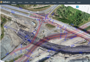
Accurate and timely drone data is used to design temporary constructions and traffic arrangements during the constantly changing construction site.
Thanks to Pointscene, you can bring your drone or aerial ortho images into Infrakit as a basemap, combining your plan and the up-to-date status of the construction site. By bringing in the real images, activities and status of all site-related items will be visualized and integrated together with the design model. For example, stockpile information or site equipment, that can be visually located and taken into account in work tasks and temporary logistics or route planning.
“Once I started actively using our drone at our site, I cannot imagine why I wouldn’t use it anymore. Instantaneously the drone became irreplaceable as it provides new tools for site documentation and monitoring” –
states Tero Maijala, who is the Head Surveyor for Destia’s E18 Turku ringroad project. In this almost 10 kilometer long, 39 MEur project Maijala is in charge of land surveying and machine control data management on the site.
You will never need to doubt if you data is accurate and up-to-date, when you have drone data to support your designs in the same interface. The actual state of the construction site is comprehensive and easy to communicate to all parties. Once the drone data is updated regularly enough when the site progresses, e.g. weekly or monthly, Infrakit users can see their heavy machinery on the map working in the correct place instead of the middle of the woods or ocean of the outdated basemap imagery.
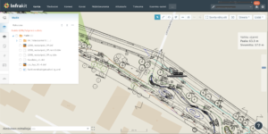
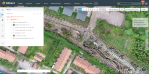
Up-to-date aerial images bring the plans and designs to life. The design is now much easier to understand, as it is for sure in the right place.
Progress is easily tracked and managed once you have up-to-date imagery of the area under construction. Infra-construction projects are done so rapidly, that there is no point of making 3d models of all the phases and all changes into the designs. Of course worksite visits are necessary, but you can expand the observation and knowledge with a new and wider perspective from above. Regularly updated aerial images are great for training new workers and for public announcements. “We have our orthophotos in Pointscene and now all parties can access the data even straight into their design software.” Maijala shares his experiences. “Up-to-date drone maps bring designs and plans alive into the actual world” Maijala continues. Once the data is updated with the newest one, old data is still used for comparison and archiving. Detailed images can be useful evidence for possible insurance cases.
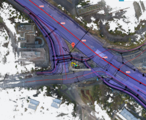
Also point cloud data from laserscanners or photogrammetry can be converted into ortho images and integrated into Infrakit . © SRV Infra Oy / Kehä1 Keilaniemi
If you are already using drones at you worksite or you are curious of utilizing drone data in your Infrakit project, please contact Pointscene or your Infrakit contact person and we’ll set up a demo and put your drone data on the map!
Pointscene.com
Lauri Hartikainen, CEO
lauri@pointscene.com +358 50 5435444
Reeta Ojala, Customer Experience Lead
reeta@pointscene.com
Book a Demo
Discover how Infrakit connects your entire infra project operations and drives value to every part of your business.

Recent Comments