Infrakit provides real-time progress data of infra projects for contractors
Infrakit provides real-time progress data of infra projects for contractors
In our previous benefits blog we told you about the cost savings and heavy machinery efficiency improvements that Infrakit enables. Infrakit ensures that all project parties are working with the latest plans and schedule to avoid waste of resources and expensive errors, while improving efficiency at the worksite.
In this blog we’ll talk about real-time map view of the project status and progress.
As planned and as built
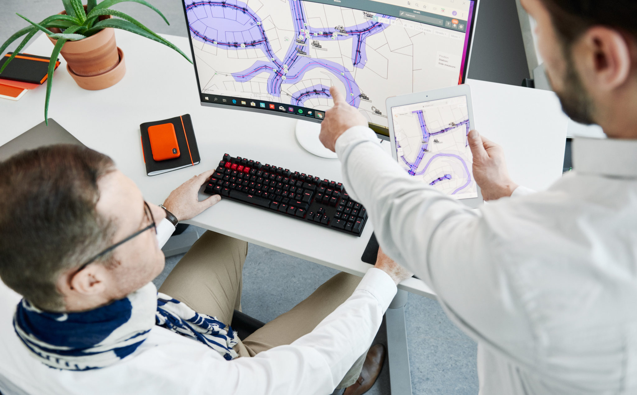
Infrakit enables easier coordination of plans and quality assurance, which leads to high quality end products that are ready and suitable for digital construction. As built aggregation enables progress and quality monitoring.
“Infrakit is used as a project bank in the project – all plans and real-time quality assignments are handled through Infrakit. This is important for the owner of the project, who wants quality recognition to take place immediately during the work and not with the traditional way of delay. Without Infrakit, quality designation would not only be delayed, but it would also require more work: quality reports and their storage in a project bank. Now there is no need for it, but all quality measurements and as-built measurements are displayed in real time when the points are taken.
At the same time, quality data can be combined with the location, ie material certificates, culverts, etc. are documented. It is possible to look at what quality measurements can be found in each case.”
Sami Laakso, Project Manager, Kreate on case Klaukkala Bypass
Real-time status and progress information
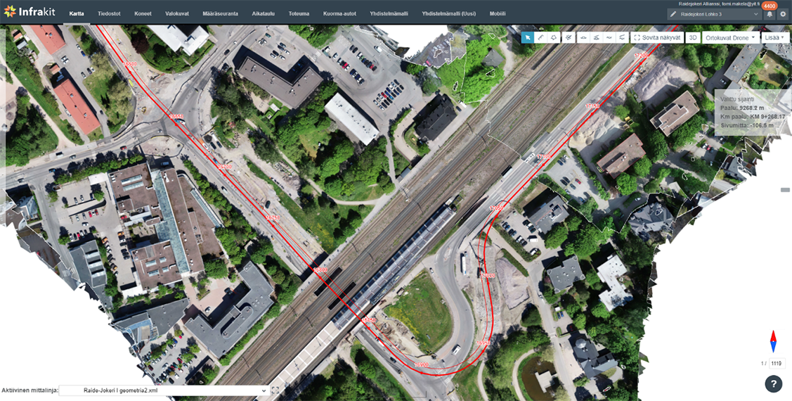
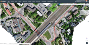
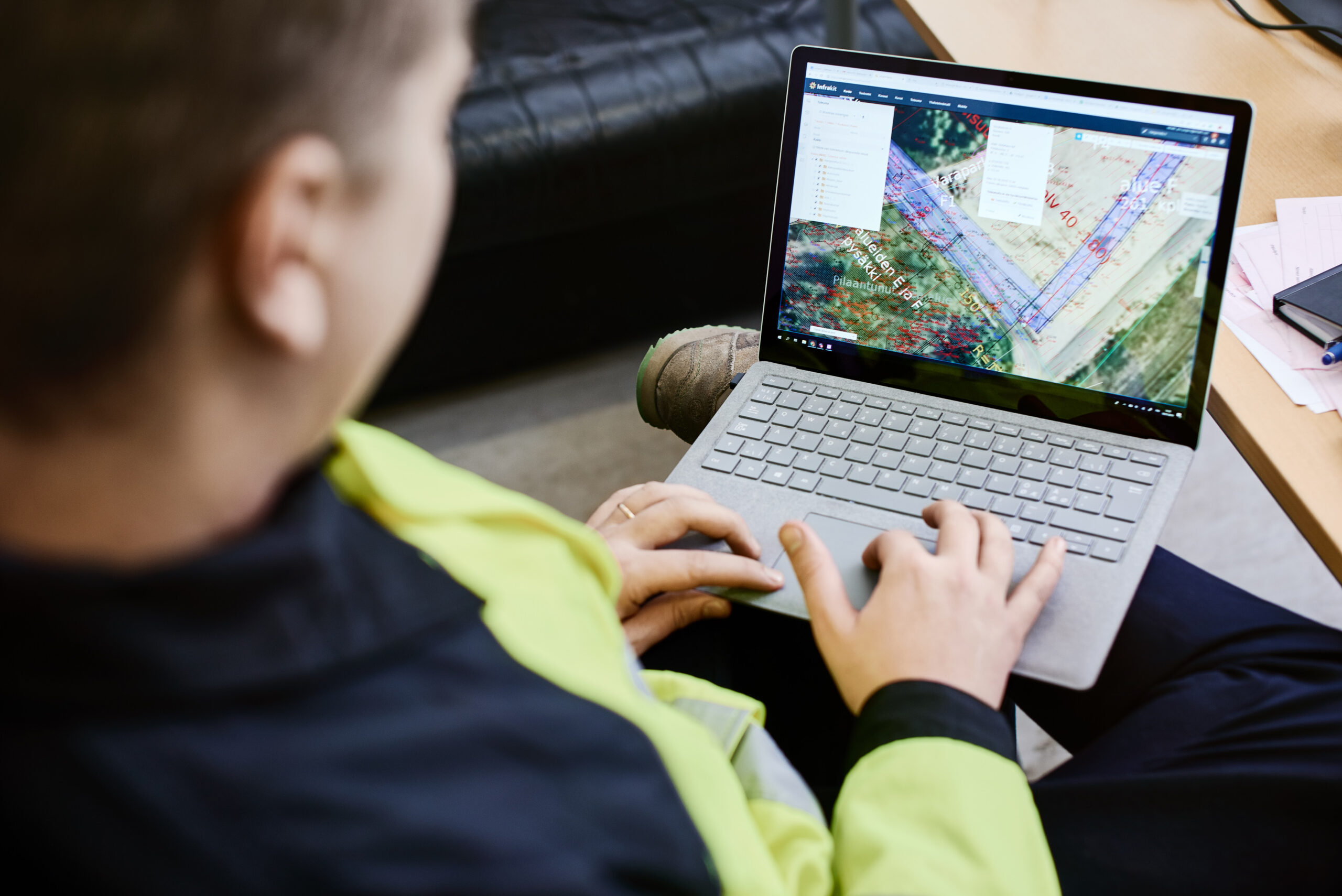
Real time situational awareness and project progress status can be found in the platform with different devices like smartphones and tablets which are easy to use on site. Project progress monitoring can be done with the help of surveying and machine control log points, photos, orthophotos and drone views.
“HSY can view photographs and completed pipeline networks through Infrakit. Photos provide valuable information on how construction is progressing. Infrakit’s orthophotos have been praised, as they provide an up-to-date situational image. During the implementation stage, supervisors can also view the photos and situational images in Infrakit on site, on their tablets.”
Tomi Mäkelä, Head Surveyor on case: Jokeri Light Rail

Damyanti Rathore
June 2, 2021
Book a Demo
Discover how Infrakit connects your entire infra project operations and drives value to every part of your business.





Recent Comments