Infrakit Cloud makes construction more efficient
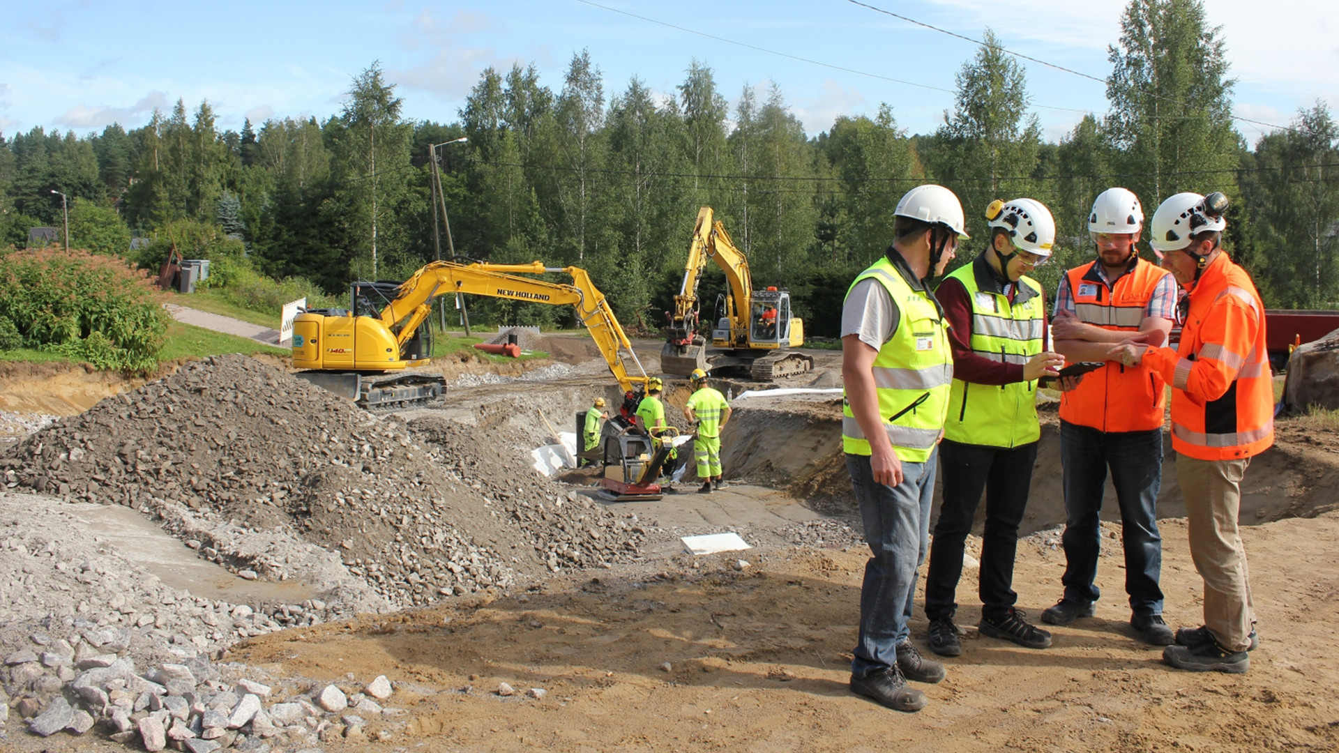
Infrakit Cloud makes construction more efficient
Thanks to Infrakit Cloud developed in Finland, a skilled foreman stays updated regarding project details even though machine control systems have made measuring sticks a thing of the past.
With the help of Infrakit and machine control it is possible to save up to 20% of the total cost of a project. The cost savings are made up of faster completion time, reduced loss of material, and avoided mistakes.
With the help of Infrakit and machine control it is possible to save up to 20% of the total cost of a project.
The project design files are entered in the online service and the system checks the information is usable in mobile and surveying instruments and in machine control. The only things needed are an Infrakit username and an internet browser. After this, the designs can be viewed on map on a mobile device or on PC. 3D visualization can also be done in the browser without the installation of any separate software. The cumbersome A2 paper designs are no longer needed in the field as all the data can be accessed on a smartphone or a tablet.
Infrakit serves as a centralized data storage for the project. When using Infrakit, the supervisor, the surveyors, the customer, the designer, and the work machines share the data through the service. The method makes the job of the surveying chief significantly easier when real-time data can be accessed through one service and it is automatically shared with the work machines, the foremen’s mobile devices and the surveying instruments. All measurement data from the project is collected to the service and the project progress can be monitored in real time.
Viewing material in the field using a tablet
The system connects different machine control systems and land surveying instruments under one service
The machine controlled work machinery is connected to Infrakit so the location of the machines can be viewed on the map. This way their efficiency can be monitored and the project designs are automatically shared. The as-built points measured by the machines appear on the map which makes it easy to monitor project progress as well as the quality compared to the designs.
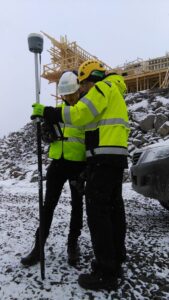
Infrakit land surveying instrument
In a typical case, several machine control systems of different brands are used in a project. Without Infrakit, transferring all the data must be done separately through the cloud service of each software manufacturer. This causes extra work and increases the likelihood of mistakes, because there may be several different versions of the design files used by different people and machines in the construction site.
It is possible to connect all the most commonly used machine control systems to Infrakit, including Novatron, Leica, Topcon, and Trimple. This way all work machinery can be managed through one system, removing the need for extra work and reducing the risk of mistakes.
It is possible to connect all the most commonly used machine control systems to Infrakit.
It’s possible to connect the newest GNSS-rovers and total stations to Infrakit through the manufacturers’ own cloud services (for example ConX, Trimble Connected Community). Infrakit Cloud can be downloaded for android from Google Play Store. The application is used for viewing project designs and taking photos in the field. The application uses the in-built GPS-receiver of the device to locate the user and it shows the present location on the map, in the same way as Google Maps. The accuracy of location tracking on a tablet is 3-4 meters. If centimeter-level accuracy of the location is needed, the tablet can be connected to an external RTK-GNSS-receiver, making the application the foremen’s super tool, “the Infrakit surveying instrument”.
Measurements of the construction site and digital handover material
Infrakit collects digital handover material to one place. In an ideal case, the measurement data is automatically shared through an online connection. The system compares what has been built to the project design files and notifies the user of possible deviances. The measurements can be approved and the rights to view the project can be given to, for example, the project owner. The communication works significantly better when both parties can see the same project design and measurement data in the service.
In an ideal case, the measurement data is automatically shared through an online connection.
In the pilot project of the Finnish Transport Agency, Highway 8 Luostarinkylä, Infrakit has been used as a platform for collecting digital handover material and sending it to the project owner. The pilot study report (in Finnish) can be read from the following link: http://www2.liikennevirasto. fi/julkaisut/pdf8/lts_201715_digitaalinen_luovutusaineisto_web.pdf
Finnish National BIM guidelines will be updated this year to correspond the experiences in the pilot project.
It is easy to take photos from the field using the Infrakit tablet application. The photos are saved in the service and they are shown on the map together with their location. It is possible to add comments to the photos and the direction from which they were taken. Viewing photos and managing the map view is easy and the photos are usually organized into folders according to topics, which makes it easy to search for photos by topic and location.
Infrakit makes it possible to monitor the earth moving process in real-time. The truck drivers have the Infrakit Truck App in the cab where the loading and unloading locations as well as used routes and amounts of material are saved. The contractor no longer needs to carry around the logbooks and handle the data manually.
Infrakit in the site office
Independent Finnish know-how
The Infrakit service is actively developed in collaboration with Finnish construction companies and project owners. The headquarters of the company is in Helsinki and it’s owned by the employees. Infrakit is used in the majority of the most significant infrastructure projects in Finland. Projects in which Infrakit is utilized include the E18 Hamina-Vaalimaa project by YIT, the Highway 6 Taavetti-Lappeenranta project by Skanska and the Tampere Tramway Alliance.
Infrakit is the only independent cloud service in the market. As an additional note, importing the project design files is done using common open formats, so it can be done on any design CAD. The working principles of Infrakit makes it possible to use the surveying instruments and CAD-software most suitable for each task in a project, regardless of the supplier of the equipment and software.
Infrakit is the only independent cloud service in the market.
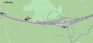
Map view
Book a Demo
Discover how Infrakit connects your entire infra project operations and drives value to every part of your business.
Recent Comments