The benefits of using Infrakit in euros
The benefits of using Infrakit in euros

In this blog post I will present a simple calculation of concrete savings resulting from the surveying properties of Infrakit using an example project.

Infrakit increases the efficiency of surveying and data management of the construction site significantly. Below are presented three concrete ways how Infrakit can be utilized, which have proven to be effective on construction sites of Destia, Skanska and YIT. As the example project I chose a fictive 80 million euro road construction project. The duration is 3 years.

1) Survey chief’s centralized data management. Infrakit enables a centralized design management and synchronization in the work machines and centralized collection of as-built data. This saves 50% of the survey chief’s working time.

In the example project the work input of one person is saved. Cost savings amount to 240,000 euros in three years.

2) Foreman’s survey tools.The foreman has the opportunity to inspect the design data and conduct some of the as-built measurements using Infrakit GNSS measuring (survey) device. This will save 50% of the measuring (surveying) resources.

In the example project the work input of two people is saved. Cost savings amount to 360,000 euros in three years.

3) Digital quality documentation.Traditionally, when the project is finished, cross-section images of the surveys are sent to the project owner on paper. In the example project this would mean 15,000 cross-sections of the size of A4 paper printed in several series. With Infrakit, the project owner accepts the design and survey data collected in Infrakit, so the printing of cross-sections is not necessary. The cost of producing and printing one cross-section image is approximately 30 euros. Using Infrakit will save 450,000 euros in total.


Summary: Cost savings in the example project

Sub-area  Savings (EUR)
Survey chief’s centralized data management 240.000 EUR
Foreman’s measurement/survey tools 360.000 EUR
Digital quality documentation 450.000 EUR
Total savings 1.050.000 EUR

Over one million euros were saved in the surveying costs during the example project.

Savings brought by increased efficiency
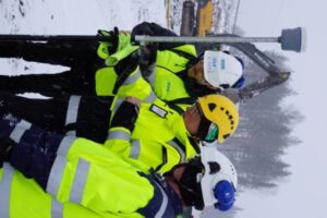
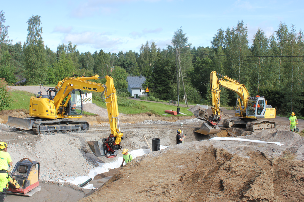
In addition to the surveying cost savings presented above, Infrakit provides significant benefits through increased accuracy in building and efficient use of work machines. The development manager of Destia, Mika Jaakkola, states that compared to traditional working methods, the delivery cycle of contracts carried out by Destia using digital designs have shortened by up to 25%.

This view is supported by the data we have collected from the work machines. With traditional methods in the construction sites the efficiency of the machines is 60% on average (in use during the working hours), whereas sites that utilize Infrakit, the efficiency is 82% on average.

The rule of thumb is that the costs consist of work and material. Saving one fourth in the work costs leads to a 12.5% saving in the total budget. In the example project of 80 million euros, this means saving 10 million euros. The previously mentioned survey cost savings are not included in this calculation. I will return to the formation of these savings in the next blog post, in which I will also discuss the results of the innovation project “Infrakit application as management’s aid” commissioned by YIT in spring 2016.

Can you afford not to make use of the newest technologies? How much could your next project benefit from using Infrakit?

We know that every project is slightly different. Contact us, so we can help you benefit from the newest technologies.


Teemu Kivimäki

CEO and founder

+358 50 344 6465

Book a Demo

Discover how Infrakit connects your entire infra project operations and drives value to every part of your business.


INTERMAT Paris

INTERMAT Paris

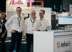
We are extremely happy to say that INTERMAT Paris was absolutely amazing for us. Thank you for everyone who came by our stand and attended to our workshops and talks. It was great meeting you all, and we hope to see you soon in the near future!

Below you can see some pictures from the first few days of INTERMAT. The atmosphere at the fair was absolutely great and it is amazing that we could be a part of it.

We are looking forward to our next event Vei & Anlegg in Norway during 2.-6.5. and hope to see many of you there!

Book a Demo

Discover how Infrakit connects your entire infra project operations and drives value to every part of your business.

Infrakit presentations and workshops at Intermat Paris

Infrakit presentations and workshops at Intermat Paris

Intermat is the International exhibition for construction and infrastructure that will take place from 23 to 28 of April 2018 at Paris Nord Villepinte, France. Intermat hosts 183,000 visitors and 1,500 exhibitors presenting an offer of equipment, materials and solutions for civil engineering and structural building works.

During the Intermat week, Infrakit will be giving presentations and workshops about the infraBIM, sharing the best practises in use already in Finland and Scandinavia and proposing ready solutions for all constructions companies and infra project owner to digitalize their project and enjoy all the benefits from the model-based construction. Our presentations will be as follows on the Building Smart Village in Hall 6:

Monday 23.04, 15h Infrakit Workshop “infraBIM et chantier connecté” (20-25 min)
Tuesday 24.04,14h Infrakit Conférence “Infrakit, infraBIM and best practises from referenced projects” (55 min)
Thursday 26.04,15h Infrakit Workshop “infraBIM et chantier connecté” (20-25 min)
Friday 27.04, 10h Infrakit Workshop “infraBIM et chantier connecté” (20-25 min)

During Intermat, Infrakit will be represented by Sebastien Cailliau, Jan Van den Brandt, Pasi Joensuu as well as Teemu Kivimäki, serving therefore the prospects and customers in a variety of languages from French, English, German, Dutch, Finnish and Swedish!

In the event you would need a free invitation to attend Intermat, feel free to contact Sebastien Cailliau (sebastien.cailliau@infrakit.com) to get a pass and arrange a meeting during the fair!

You can find Infrakit on the Building Smart Village! Our stand number is 6 J 042

Book a Demo

Discover how Infrakit connects your entire infra project operations and drives value to every part of your business.

New from the Benelux office!

New from the Benelux office!

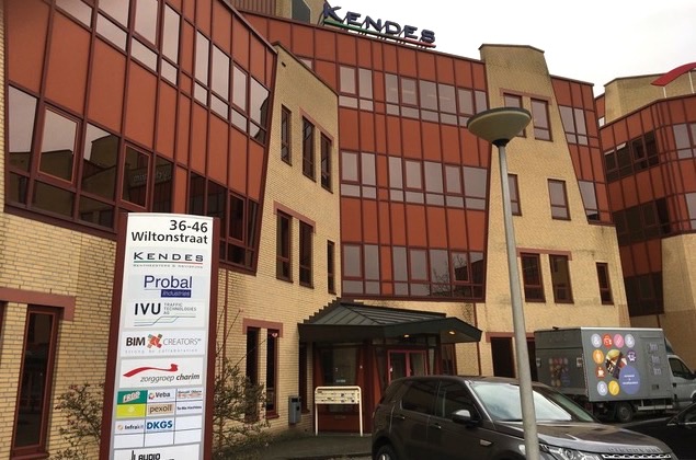
Infrakit B.V. has a new office! We have moved to Wiltonstraat 36-40, 3905 KW Veenendaal. The relocations was necessary to support further expansion plans we have for Infrakit in the Benelux. Customer base is growing in Netherlands and also expansion into Belgium will take place. This required better and more office space as well.

We also want to take the opportunity to introduce one of our dealers to you. Infrakit has appointed DIS Digital Infra Solutions as dealer and support organisation. DIS will sell Infrakit and has all the knowledge to give support on all machine control systems. They also will setup training for Infrakit and can help you with other related issues you might have in the process towards your digital worksite. You can find all necessary information on their website: www.disinfra.nl.

Infrakit is The Open InfraBIM cloud service. So if you are in a need of good BIM tools for your infra project, please don’t hesitate to contact us! Open means that Infrakit uses open formats, like LandXML, DWG and DXF and we are open to all other cloud services like for example the different clouds of Trimble, Leica, Topcon, Moba, etc. We also are open to other software you already use, because we can connect Infrakit to these other software applications you have in use in your company. Please contact us if you need more information about that.

Book a Demo

Discover how Infrakit connects your entire infra project operations and drives value to every part of your business.

New Update! Version 3.3.1-4

New Update! Version 3.3.1-4

Hey everyone!

We just got another update to Infrakit! To make your work in the field or at your comfortable office easier and faster, we added image search by user or by title. Now you can find all images from pipes or the pipe by writing it’s name on a seach box!

We also had a great amount of work done to logpoints. For us, it is important to keep it easy to use, while still capturing all possible information for the later date to be checked or used. Some of these features that make logpoints .pdf more clear and easier to read as well as now having much nicer flow to add new logpoints to the map.

Full list of features added to Infrakit below:

Bug
[IN-632] – Admin project page: project users list is sometimes empty
[IN-638] – GetUserState database query crashes if project==null or user==null
[IN-639] – API ajax_user_activity.json should use ISO 8601 dates
[IN-642] – Use latest alignment model version in cross_section.png
[IN-643] – Save Image description to comment exif tag instead of description exif tag
[IN-644] – Image position fails to read if image doesn’t contain xmp metadata
[IN-649] – Project invites might get rejected when saving user
[IN-653] – Fix Novatron logpoint reference model matching when model name contains åäö
[IN-654] – When creating a new organization, the selected organization roles are not saved

Task
[IN-591] – Map page, Images Tab – Add filter by user, and text filter by title/description
[IN-627] – In logpoints .pdf generation, add average errors separately for under and over tolerance points..
[IN-637] – Add pointName to new logpoint request parameters
[IN-655] – For new organizations, have Leica, Trimble and Topcon integrations as well as 3D visualization tabs activated by default..
[IN-658] – Improve project center point calculation

Book a Demo

Discover how Infrakit connects your entire infra project operations and drives value to every part of your business.

Infrakit Release 3.3.1

Infrakit Release 3.3.1

Hi everyone,

In new version update we added more security requirements to keep account and data safe, made user invitations easier and created infrakit smart to detect 360 panorama images.

Read full list of changes below:

Bug

[IN-519] – Map page – In Safari, map is not using all available screen space
[IN-610] – Cross section measurements vanish when scrolling or zooming the cross section
[IN-614] – As-built .pdf report creation can fail
[IN-616] – As-built approval status colors do not work
[IN-617] – As-built points from Field app lose precision if coordinate conversion fails
[IN-619] – Map page – Share state – copy to clipboard doesn’t work in Chrome 61+
[IN-621] – Default new organization parent should be the user’s organization
[IN-626] – Fix sending coordinate system offset to Field app

Task

[IN-566] – New passwords should be minimum 8 characters long – Admin edit user and User setting pages
[IN-567] – Creating new users – option to create random password + send via email to user
[IN-592] – Add user invitation role column on project page
[IN-618] – Add ConX ICON-FIELD support
[IN-620] – Images – Read XMP metadata from uploaded image to detect 360 panoramas

Book a Demo

Discover how Infrakit connects your entire infra project operations and drives value to every part of your business.