Exciting, current and pioneering – Intergeo Stuttgart 2019
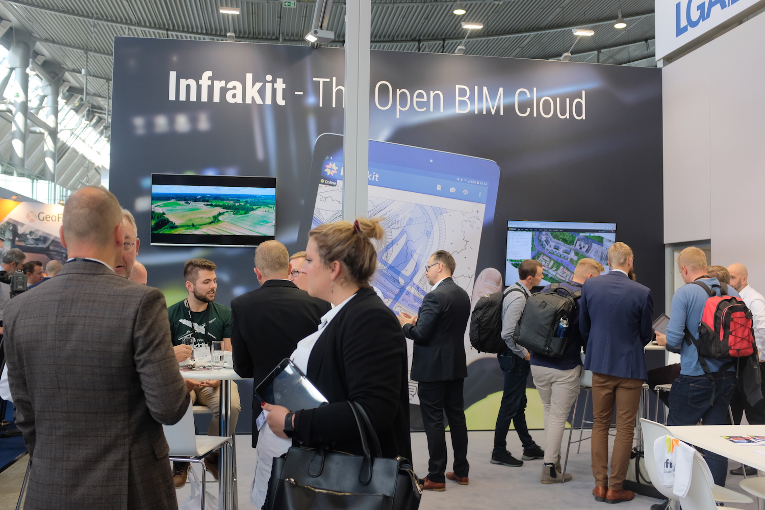
Exciting, current and pioneering – Intergeo Stuttgart 2019

This year on top of the agenda in Stuttgart is digitalization and innovation it brings in terms of BIM, virtual and augmented reality. It was the fourth time Infrakit participated in Intergeo. You still have time to visit us until Thursday 19th at our stand K1.033 in Hall 1. Meet some of our staff below:
Jan van den Brandt, Business Development Manager from Infrakit and Harri Taina, Surveying Chief from Destia Oy

Jan van der Brandt has been all four times with Infrakit at Intergeo: ” We as Infrakit like it very much when customers from the beginning of the company are visiting us at InterGEO! InterGEO is very successful again this year and we are happy to meet many new people from all over the world. Infrakit is more and more recognized as a perfect brand independent and open BIM cloud for the Infra industry”.
First day started with lively discussions.
Jonne Davidsson, CTO and Lauri Hartikainen, CEO from Pointscene

Pointscene solution improves worksite planning with drone mapping data. A new integration to Infrakit enables point clouds and orthophotos to be visualized in Infrakit. “We here to strengthen partnerships with data providers and looking for solutions to integrate Pointscene with. Infrakit partnership is important for us because we can serve our construction clients better”, Lauri Hartikainen explains. Read more about using drone data with planning here.
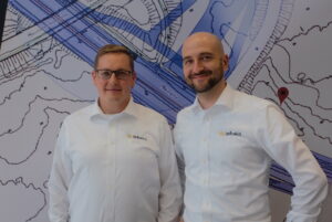
Visa Hokkanen, VP of Product and Henri Helisvaara, General Manager of Finland from Infrakit

Brand new addition to our team, Visa Hokkanen is responsible of product management, meaning working in a cross section of development, marketing and sales. Visa’s background is in machine control. “I have been following Infrakit from distance for years, and it has been nice to recognize that the positive atmosphere both in culture and business is truly in place. Intergeo is a great opportunity to meet our partner network, both customers and technology vendors. Here I have met several technology providers integrating to our API, stay tuned for new announcements!”
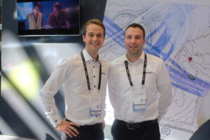
Anders Tiltnes, General Manager of Norway and Vuk Simic, Software Engineer from Infrakit

Vuk Simic, Software Engineer came from Serbia to meet our integration partners. Vuk is our expert in Infrakit API.


Welcome to visit us!

Linda Hakala
September 18, 2019

Book a Demo

Discover how Infrakit connects your entire infra project operations and drives value to every part of your business.
Espoo-Salo rail line with model-based general planning

Espoo-Salo rail line with model-based general planning

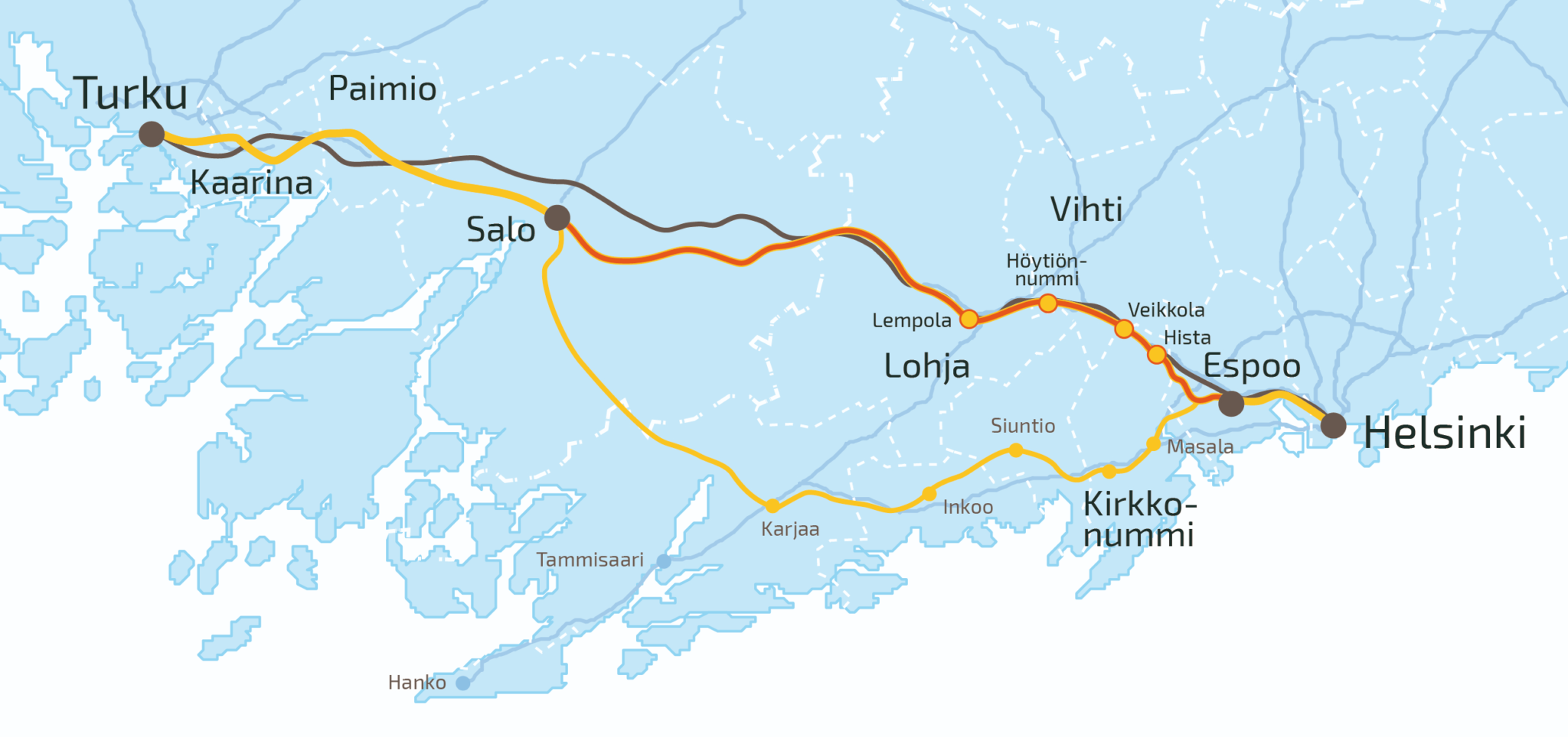
A fast train service between Helsinki and Turku is a significant project both regionally and nationally. It will enhance labor mobility and have an impact on the operational environment, competitiveness, land use, and apartment production of companies. The project can be divided into four different parts: the Espoo urban railway line, the Espoo–Salo direct rail line, the Salo–Turku double track, and the Turku railway yards.

The aim is to devise a generally approved general plan for the Espoo-Salo direct rail line by the end of 2020. The Finnish Transport Infrastructure Agency has provided Infrakit as an information model environment for the project, which has been dubbed ESA. The project has been divided into three different tasks, where a combination model will be compiled into one shared model in Infrakit. We interviewed Proxion’s Infrastructure Team Leader Henri Lindholm on the direct rail line. Proxion is involved in the project as an expert in information modeling and cost management and as an Infrakit user.

What makes the ESA project special?

“Very early planning and the length of the track, which is 95 km, is what makes the ESA project special. So far not that many general plans have been devised using information modeling, meaning that the project is also used to develop modeling in the general planning stage. During general planning the information modeling accuracy level is fitted to correspond to the requirements of the general planning stage and to serve the needs and objectives of general planning”, Henri Lindholm explains.

What are the objectives of the modeling?

”Objectives of the modeling in the project are specifically:

– Using models in planning and as meeting material

– Keeping initial data up-to-date during the project

– Assuring compliance and quality of planning solutions

– Integration of plans

– Utilizability of the information model in client’s quality assurance

– Reuse value of information”

What benefits does Infrakit bring into the project?

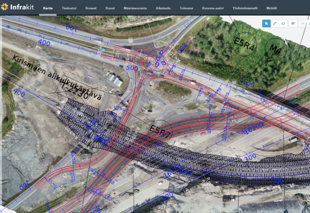
“We intend the combination model to be open to both the client and the stake holders during the planning. Infrakit’s browser-based user interface enables this, leaving no need for separate installable applications. We hope that the 2D map user interface of Infrakit will provide benefits for example to the option comparison of geometries.”

“A special challenge in this project is the long stretch of line (closer to 100 km) being planned, followed by a vast amount of data and of course a considerable amount of users for the combination model with diverse roles (client, experts of the client, planning consultants, stake holders).”

More information on the Espoo-Salo direct rail line can be found on the website of the Finnish Transport Infrastructure Agency.

Linda Hakala
September 11, 2019

Book a Demo

Discover how Infrakit connects your entire infra project operations and drives value to every part of your business.
Infrakit TRUCK™ app for Android

Infrakit TRUCK™ app for Android

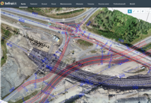
Infrakit TRUCK™ app is a part of the Infrakit system and it’s used for tracking and managing project logistics. Use the Infrakit TRUCK™ app and keep track of movements and activities of your vehicles on Infrakit OFFICE™.

Currently there are two modes in the app: Manual and Automatic. These modes are related to the organization which the user belongs to. You can select which mode you want in Infrakit OFFICE™. Selected organization mode is valid for all users of that organization.

Manual mode – this means that truck driver has full control over ride. Driver chooses material, volume, volume unit and task for the ride, and also starts and finishes ride on button press.

Automatic mode (Advanced Trucks) – driver has no control over trip, everything was set up earlier by fleet manager, the only thing the driver needs to do is drive.

Download Infrakit TRUCK™ app for Android devices on Google Play store »

Book a Demo

Discover how Infrakit connects your entire infra project operations and drives value to every part of your business.
Using Drone Data with Planning

Using Drone Data with Planning

A construction site is efficient only when the data it uses is accurate and up-to-date. Intelligent project information can be shared and received in real-time using Infrakit. Maps are a useful tool to understand the big picture, but most map services have outdated basemaps or satellite imagery and that might confuse more than help the perception. Drones are already a common tool at work sites, but the data is usually hidden from all others than the data specialists. By using ortho images and point clouds collected with drones as basemaps in construction softwares, all workers can utilize the data to its full potential. Once completed tasks are documented and shared quickly, all parties and workers can understand the benefit of data capture and will be able to take full advantage of the knowledge.

Accurate and timely drone data is used to design temporary constructions and traffic arrangements during the constantly changing construction site.

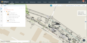
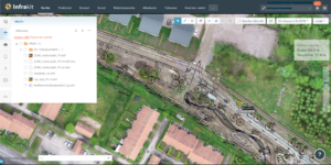
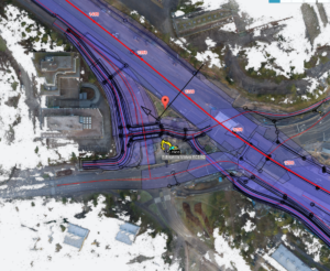
Thanks to Pointscene, you can bring your drone or aerial ortho images into Infrakit as a basemap, combining your plan and the up-to-date status of the construction site. By bringing in the real images, activities and status of all site-related items will be visualized and integrated together with the design model. For example, stockpile information or site equipment, that can be visually located and taken into account in work tasks and temporary logistics or route planning.

“Once I started actively using our drone at our site, I cannot imagine why I wouldn’t use it anymore. Instantaneously the drone became irreplaceable as it provides new tools for site documentation and monitoring” –

states Tero Maijala, who is the Head Surveyor for Destia’s E18 Turku ringroad project. In this almost 10 kilometer long, 39 MEur project Maijala is in charge of land surveying and machine control data management on the site.

You will never need to doubt if you data is accurate and up-to-date, when you have drone data to support your designs in the same interface. The actual state of the construction site is comprehensive and easy to communicate to all parties. Once the drone data is updated regularly enough when the site progresses, e.g. weekly or monthly, Infrakit users can see their heavy machinery on the map working in the correct place instead of the middle of the woods or ocean of the outdated basemap imagery.

Up-to-date aerial images bring the plans and designs to life. The design is now much easier to understand, as it is for sure in the right place.

Progress is easily tracked and managed once you have up-to-date imagery of the area under construction. Infra-construction projects are done so rapidly, that there is no point of making 3d models of all the phases and all changes into the designs. Of course worksite visits are necessary, but you can expand the observation and knowledge with a new and wider perspective from above. Regularly updated aerial images are great for training new workers and for public announcements. “We have our orthophotos in Pointscene and now all parties can access the data even straight into their design software.” Maijala shares his experiences. “Up-to-date drone maps bring designs and plans alive into the actual world” Maijala continues. Once the data is updated with the newest one, old data is still used for comparison and archiving. Detailed images can be useful evidence for possible insurance cases.

Also point cloud data from laserscanners or photogrammetry can be converted into ortho images and integrated into Infrakit . © SRV Infra Oy / Kehä1 Keilaniemi

If you are already using drones at you worksite or you are curious of utilizing drone data in your Infrakit project, please contact Pointscene or your Infrakit contact person and we’ll set up a demo and put your drone data on the map!


Pointscene.com

Lauri Hartikainen, CEO
lauri@pointscene.com +358 50 5435444

Reeta Ojala, Customer Experience Lead
reeta@pointscene.com

Book a Demo

Discover how Infrakit connects your entire infra project operations and drives value to every part of your business.
We are pleased to announce the opening of our new office in Sydney

We are pleased to announce the opening of our new office in Sydney

Espoo 14th August 2019

Infrakit Group Oy opens a new office in Sydney. In addition to existing offices in Finland, Sweden, Norway, Netherlands and France, we are opening an office in Sydney, Australia.

The office address is 14 Narabang Way, Belrose NSW 2085, Australia. Jan-Erik Björni has been appointed General Manager for Australia. He worked before at Infrakit as a Key Account Manager in Helsinki office.

Infrakit is a cloud service for infra-project management and it offers a solution in handling large amounts of data between different parties, contractors, subcontractors and owner, enabling everyone to have the latest version in real time.

“Infrakit is widely used in Europe and continues to take new market shares, the opening of the office in Sydney strategically strengthens Infrakit’s presence on the Australian market”, says Jan-Erik Björni.

“It is a big step for a company to open its first office in a new country and we are optimistic about the new opportunities Infrakit can bring to the Australian market and its customers. You have to have local presence to build relationships locally. Even with today’s teleconferences and virtual meetings, it is difficult to build long lasting relationships without meeting your customers face to face”, says Managing Director Jan-Erik Björni.


Contact information:

General Manager Jan-Erik Björni, tel. +61 (0)443986386, jan-erik.bjorni@infrakit.com

Vice President, Business Development Pasi Joensuu, tel. +358 44 768 4424, pasi.joensuu@infrakit.com


Photo by Laura Cros

Book a Demo

Discover how Infrakit connects your entire infra project operations and drives value to every part of your business.
DCS Finland changes name

DCS Finland changes name

Espoo 14th August 2019

The company will be called Infrakit Group Oy from 8th August 2019 and the old name is no longer in use. Infrakit is already known as the company’s product name and the name change reflects the company’s growth and internationalization. In addition to the Espoo headquarters, Infrakit Group has subsidiaries in Sweden, Norway, Estonia, the Netherlands, Serbia and France. In August, subsidiaries were also established in Germany, Infrakit Deutchland GmbH and, in Australia, Infrakit Pty Ltd.

”The company continues to grow strongly. This year we have already established four new subsidiaries. This indicates that the Infrakit cloud service is in high demand internationally. In particular, we focus on countries where technology adoption, such as machine control and GNSS, is already at a good level, ”says CEO Teemu Kivimäki.

The business ID will remain the same. The change does not require any action on the part of the customer.

For more information, please contact CEO Teemu Kivimäki, teemu.kivimaki@infrakit.com, tel. +358 50 344 6465

www.infrakit.com

Book a Demo

Discover how Infrakit connects your entire infra project operations and drives value to every part of your business.