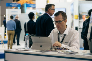
CEO’s greetings from InterGEO 2018
CEO’s greetings from InterGEO 2018
Teemu Kivimäki, CEO 

It has been a great pleasure to see many of our customers around the world in one place. There has been surprisingly many familiar faces not only from Finland but also from Norway and Holland where Infrakit offices are located. At trade fairs people have time to sit down and discuss possibilities for future co-operation. And those who know us already have familiarized themselves with Infrakit’s newest features. Good news is that the knowledge of cloud services and of the possibilities they offer has increased and surprisingly many new people have visited our stand knowing already what Infrakit stands for. InterGEO is also a great place to meet our integration partners, the big international surveying hardware companies.

As an international corporation the fair has been a great opportunity for our employees from different countries to meet each other. Meet here our newest colleagues account managers Tiny Nuiten from Netherlands and Aki Vänttinen from Finland.
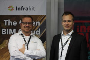
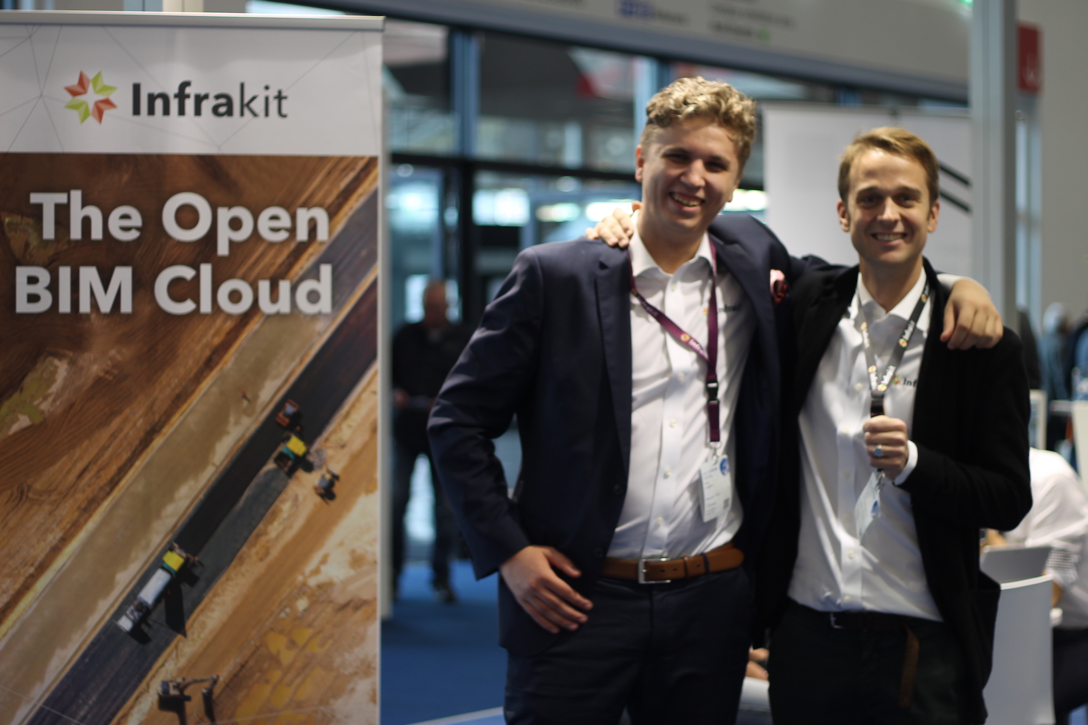
Tiny Nuiten, business development manager & Aki Vänttinen, account manager

“InterGeo is the right place to get into your companies field, meeting with customers and relations. As one of the newest members of the Infrakit team it feels like coming home. Together with my new colleague in Finland, Aki Vänttinen, we are the ‘new kids on the block’ but feel right at home.” -Tiny Nuiten
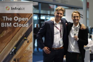
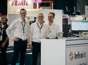
Jero Juujärvi, sales engineer from Finland and Anders Tiltnes, general manager from Norway
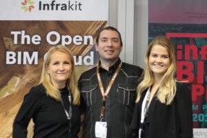
Jenni Piela, marketing manager from Finland, Ognjen Popovic, regional manager from Serbia & Linda Hakala, marketing coordinator from Finland

We look forward to InterGEO 2019 in Stuttgart!

Book a Demo

Discover how Infrakit connects your entire infra project operations and drives value to every part of your business.
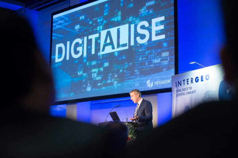
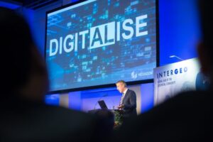
5 reasons to visit INTERGEO 2018

5 reasons to visit INTERGEO 2018

1. The world’s No. 1 event for the geospatial community
InterGEO 2018 is the leading international trade fair for geodesy. Geoinformation and land management’s hot topics will highlight ground-breaking developments and projects in a dynamic geo-IT sector. Last year, more than 18,000 visitors discovered the latest innovations and the community is continuing to grow!

2. High-profile conference with key topics
The digitalization with its innovations regarding BIM, virtual and augmented reality, UAV and smart cities will be the main topics at InterGEO 2018.

3. Host city Frankfurt
Frankfurt will be a meeting point for experts and decision-makers from the worlds of politics, science and industry on an international stage during the days of InterGEO.

4. Technologies and practical applications
Interesting topics such as BIM, autonomous driving, virtual and augmented reality technologies will be covered at InterGEO.

5. Infrakit will be there
We will be attending to InterGEO for the 3rd time this year! You will find us in the exhibition hall 12, section 12.0C.002. You’re welcome to meet us!

Fill out this form if you want us to send you a free ticket to the fair.

You can also book a meeting with us in advance by sending e-mail to jenni.piela@infrakit.com or by calling to + 358 40 8380644.

Book a Demo

Discover how Infrakit connects your entire infra project operations and drives value to every part of your business.
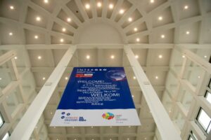
New thesis on Model-Based Quality Assurance by Jonne Ruopsa

New thesis on Model-Based Quality Assurance by Jonne Ruopsa

“The purpose of this thesis was to describe the quality assurance of the aerial construction site and to develop the quality assurance and the follow up sys- tems of the site. The purpose of this thesis was also to develop improvements to make quality assurance easier and to develop new features for the Infrakit software.

The source material consisted of literature on the topic such as thesis, manuals and the Common InfraBIM Requirements 2015. The demonstration of the In- frakit software was based on the author’s knowledge and experience.

The thesis gives an overall view on the model-based quality assurance of the aerial construction site, machine control systems and the basis of machine con- trol. The thesis also clarified the features of the Infrakit software and its benefits for the quality assurance of the aerial construction site. Digitalization has also helped to coordinate the quality assurance and to follow up of the site activities. The improvement suggestions for the Infrakit software were discussed in the conclusion.”


Read more in Finnish here.

Book a Demo

Discover how Infrakit connects your entire infra project operations and drives value to every part of your business.
Meet us at InterGEO in Frankfurt!

Meet us at InterGEO in Frankfurt!

Infrakit is going to participate again at the InterGEO trade fair that is held in Frankfurt this year. Land surveying companies will gather in the trade fair center of Frankfurt on 16th – 18th of October where they will be showcasing the newest software, methods and tools in the field. You will find us in the exhibition hall 12, section 12.0C.002. You’re welcome to meet us!

You can also book a meeting with us in advance by sending e-mail to jenni.piela@infrakit.com or by calling to + 358 40 8380644.

Book a Demo

Discover how Infrakit connects your entire infra project operations and drives value to every part of your business.

The benefits of using Infrakit in euros

The benefits of using Infrakit in euros

In this blog post I will present a simple calculation of concrete savings resulting from the surveying properties of Infrakit using an example project.

Infrakit increases the efficiency of surveying and data management of the construction site significantly. Below are presented three concrete ways how Infrakit can be utilized, which have proven to be effective on construction sites of Destia, Skanska and YIT. As the example project I chose a fictive 80 million euro road construction project. The duration is 3 years.

1) Survey chief’s centralized data management. Infrakit enables a centralized design management and synchronization in the work machines and centralized collection of as-built data. This saves 50% of the survey chief’s working time.

In the example project the work input of one person is saved. Cost savings amount to 240,000 euros in three years.

2) Foreman’s survey tools.The foreman has the opportunity to inspect the design data and conduct some of the as-built measurements using Infrakit GNSS measuring (survey) device. This will save 50% of the measuring (surveying) resources.

In the example project the work input of two people is saved. Cost savings amount to 360,000 euros in three years.

3) Digital quality documentation.Traditionally, when the project is finished, cross-section images of the surveys are sent to the project owner on paper. In the example project this would mean 15,000 cross-sections of the size of A4 paper printed in several series. With Infrakit, the project owner accepts the design and survey data collected in Infrakit, so the printing of cross-sections is not necessary. The cost of producing and printing one cross-section image is approximately 30 euros. Using Infrakit will save 450,000 euros in total.


Summary: Cost savings in the example project

Sub-area  Savings (EUR)
Survey chief’s centralized data management 240.000 EUR
Foreman’s measurement/survey tools 360.000 EUR
Digital quality documentation 450.000 EUR
Total savings 1.050.000 EUR

Over one million euros were saved in the surveying costs during the example project.

Savings brought by increased efficiency

In addition to the surveying cost savings presented above, Infrakit provides significant benefits through increased accuracy in building and efficient use of work machines. The development manager of Destia, Mika Jaakkola, states that compared to traditional working methods, the delivery cycle of contracts carried out by Destia using digital designs have shortened by up to 25%.

This view is supported by the data we have collected from the work machines. With traditional methods in the construction sites the efficiency of the machines is 60% on average (in use during the working hours), whereas sites that utilize Infrakit, the efficiency is 82% on average.

The rule of thumb is that the costs consist of work and material. Saving one fourth in the work costs leads to a 12.5% saving in the total budget. In the example project of 80 million euros, this means saving 10 million euros. The previously mentioned survey cost savings are not included in this calculation. I will return to the formation of these savings in the next blog post, in which I will also discuss the results of the innovation project “Infrakit application as management’s aid” commissioned by YIT in spring 2016.

Can you afford not to make use of the newest technologies? How much could your next project benefit from using Infrakit?

We know that every project is slightly different. Contact us, so we can help you benefit from the newest technologies.


Teemu Kivimäki

CEO and founder

+358 50 344 6465

Book a Demo

Discover how Infrakit connects your entire infra project operations and drives value to every part of your business.
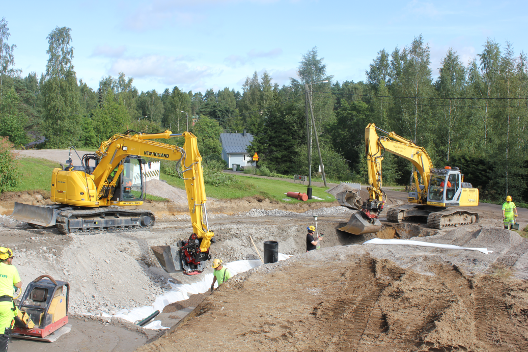
INTERMAT Paris

INTERMAT Paris

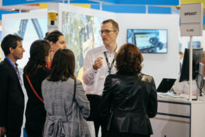
We are extremely happy to say that INTERMAT Paris was absolutely amazing for us. Thank you for everyone who came by our stand and attended to our workshops and talks. It was great meeting you all, and we hope to see you soon in the near future!

Below you can see some pictures from the first few days of INTERMAT. The atmosphere at the fair was absolutely great and it is amazing that we could be a part of it.

We are looking forward to our next event Vei & Anlegg in Norway during 2.-6.5. and hope to see many of you there!

Book a Demo

Discover how Infrakit connects your entire infra project operations and drives value to every part of your business.